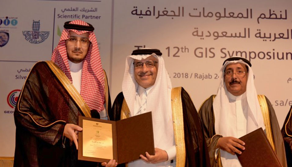
Saudi Aramco participates as sponsor of the 12th National Forum for Geographic Information Systems (GIS) and exhibition organized by Imam Abdulrahman Bin Faisal University in Dammam. The three-day forum, which took place on 10-12 April 2018, was held under the patronage of HRH Prince Saud bin Nayef bin Abdulaziz, Governor of the Eastern Province.
The forum titled “Geographical Information Systems in the service of the Public Sector and Society” provided a platform to showcase and discuss state-of-the-art geographical technology applications in health, environment, security and real estate. The forum was attended by prominent local and international figures, including researchers and specialists as well as students and private and governmental bodies associated with geographical information systems.
“Saudi Aramco continues its efforts in adopting and developing the latest technologies in geographical information systems, in addition to strengthening our relations and collaborations with associations and experts in the industry,” said Fahad E. Al Helal, Vice President of Project Management at Saudi Aramco.
Al Helal emphasized the importance of measurement and geographical information systems when running critical projects across the Kingdom. He also noted the need for investments to ensure the continuous development of these systems, given the important role they play in Saudi Aramco’s expanding operations. “Geographical information systems allow us to further enhance our upstream operations, safety procedures, project management, our detection and monitoring capabilities, and the preservation of our wide-ranging assets,” Al Helal said.
Al Helal said that such specialized events in the Kingdom offer a variety of opportunities and areas for investment and cooperation, which contribute to the IKTVA corporate objective of localization of industries, increasing the local content, and providing work and training opportunities for the young men and women of the Kingdom in various fields.
In addition to sponsoring the event, Saudi Aramco also participated in the forum’s exhibit with a pavilion displaying the Company’s GIS maps and applications.
The forum provided access to the latest technological developments and their scientific and practical applications. The goals of the forum aligned with the Kingdom’s efforts to localize this industry and implement essential development projects and programs that employ and invest in geographical technologies to provide investment opportunities for the public and private sectors.